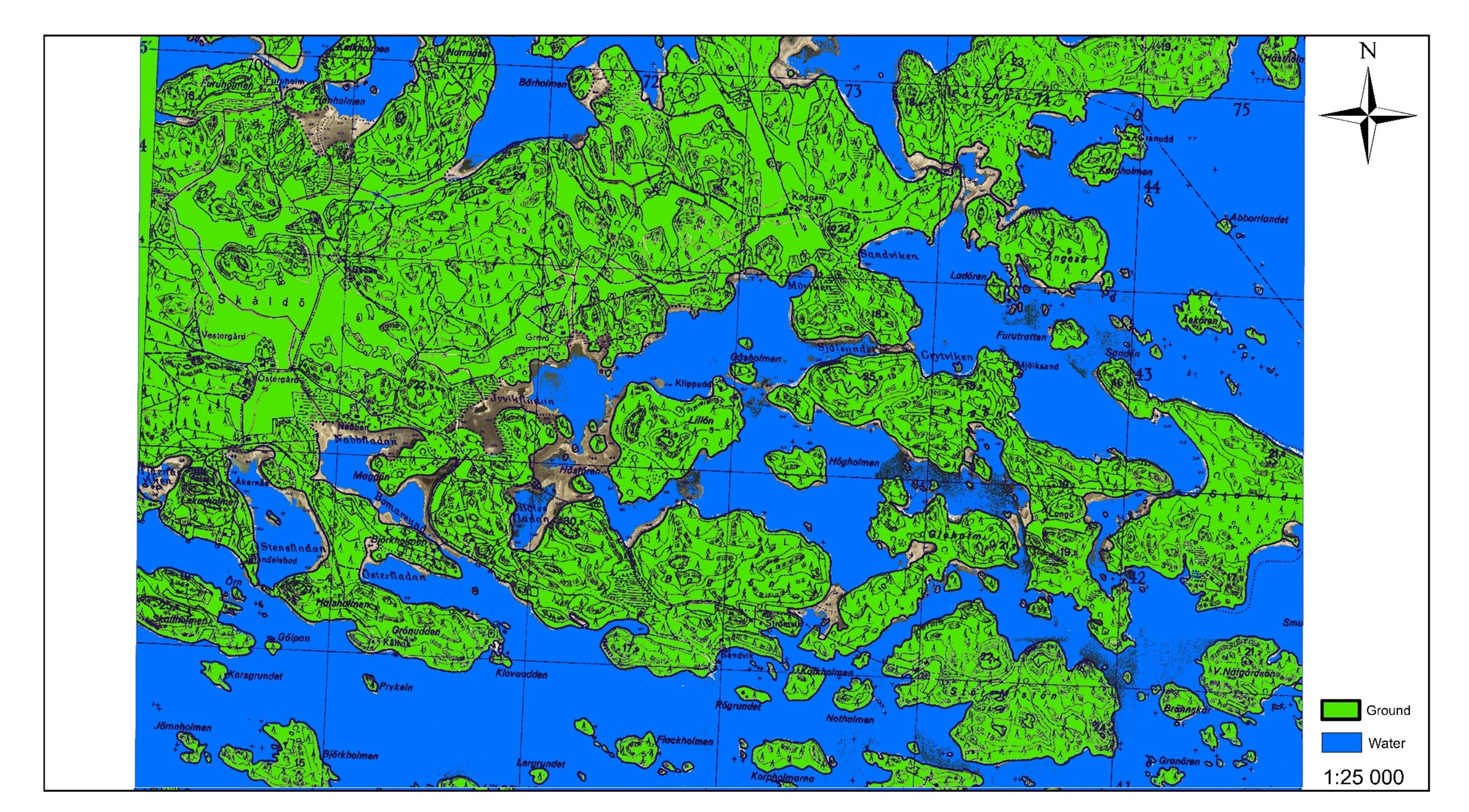
GIS analysis
GIS analysis helps in acquiring valuable sources of information to support decision making process across different business sectors, e.g. at engineering & construction, environmental protection, coastal zone management, forest management, municipal planning etc.
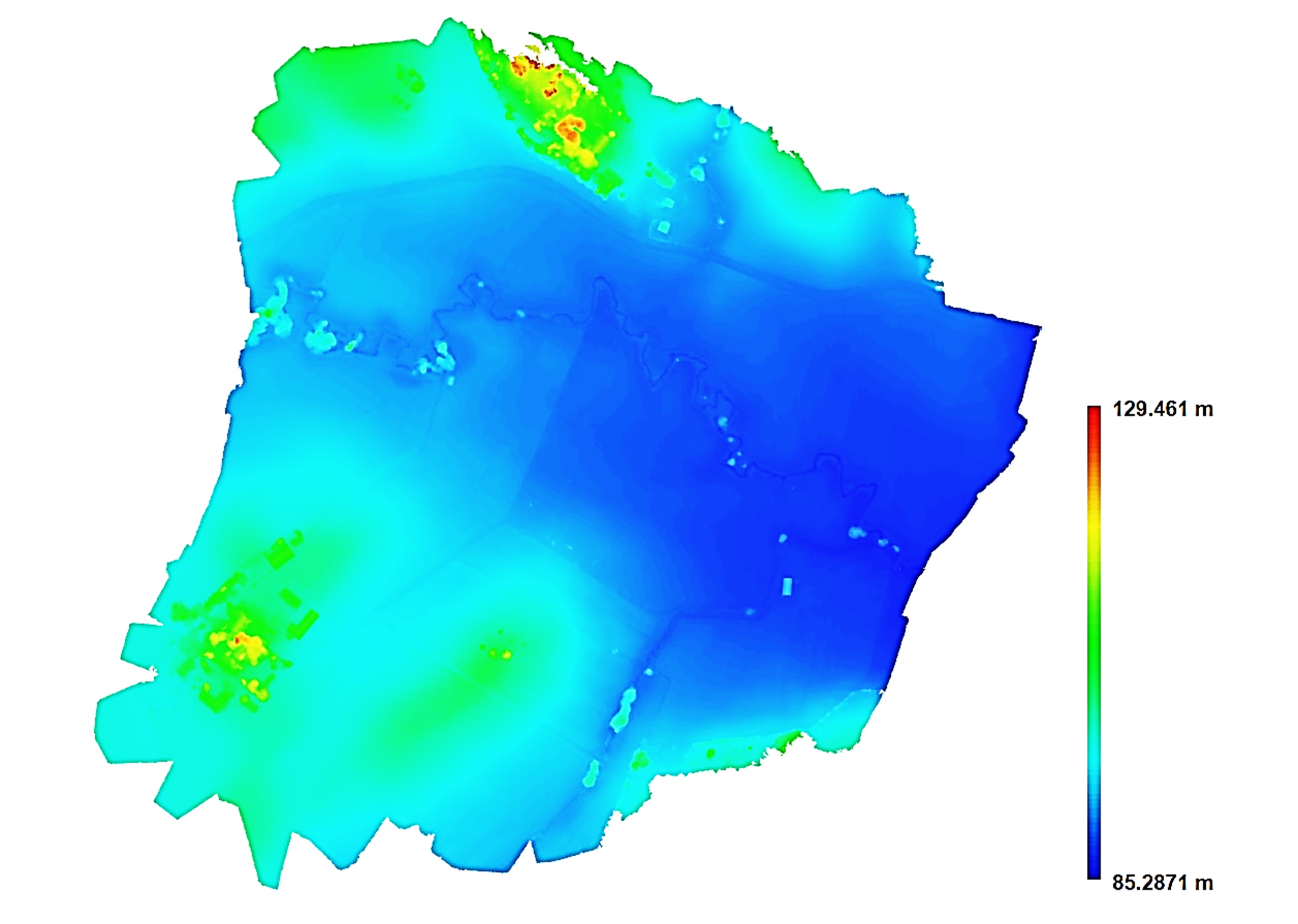
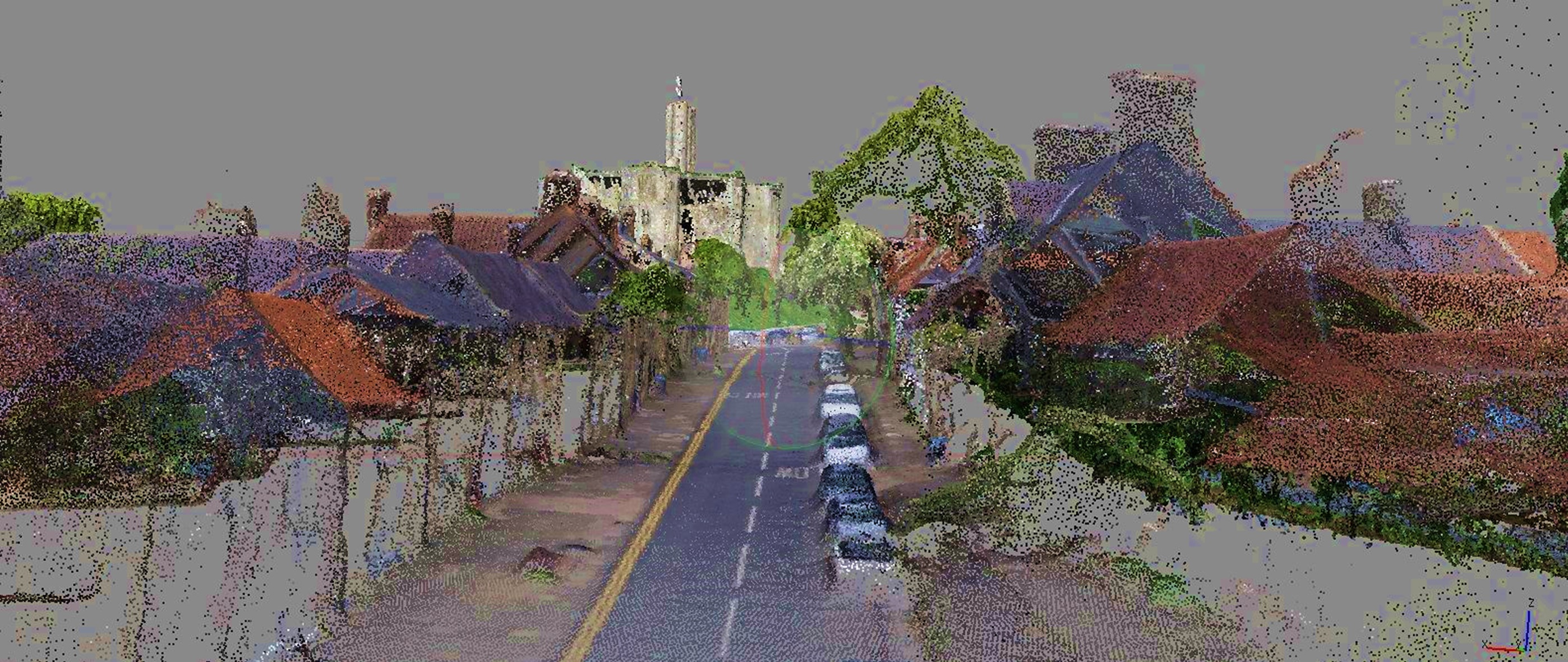
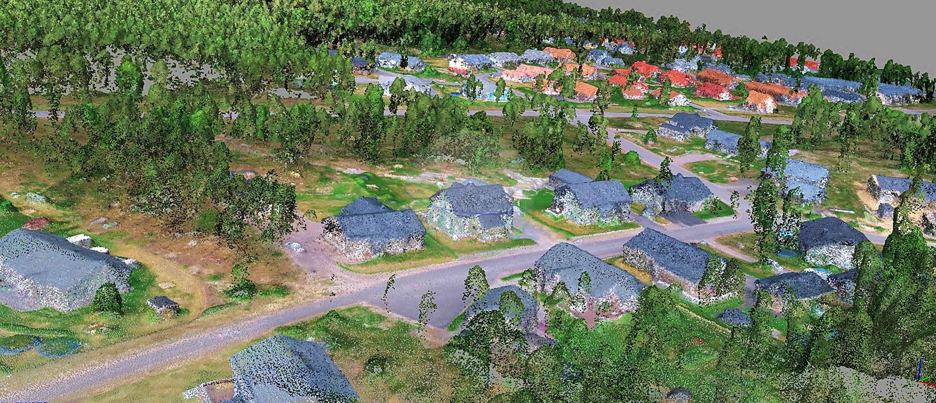
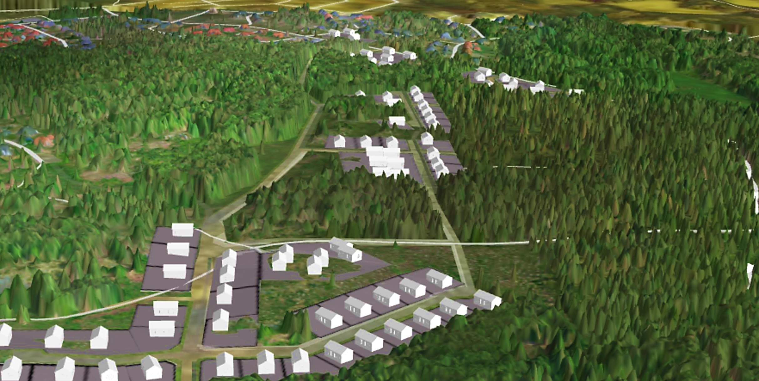
3D modelling
Landscape 3D modelling is a product widely used in geodesy, cartography, building & construction, mining, archaeology, forestry, other volumetric applications as well as city planning and architecture. It bases on high quality digital surface models rendered out of remote sensing data such as aerial laser scanning (ALS) or aerial photography (photogrammetry).
3D models create stunning opportunity to, for example, precisely calculate a volume or visualize municipal development plans.

Our experts have been applying GIS analysis and 3D modelling daily basis with different datasets such as vector data, RGB & NIR orthophoto, terrain data, contours, toporasters, photogrammetric point clouds or ALS data.
