Aerial photography is an old-school application employed at absolutely different sectors of economy – from surveillance, mining, forestry to environmental research etc. It is extremely useful being visual, accurate and precise. Despite its high value aerial photography has been recently used by a limited number of professionals.
With a UAV boom around the Globe a very high resolution (VHR) aerial photography became available for a broader number of professionals.
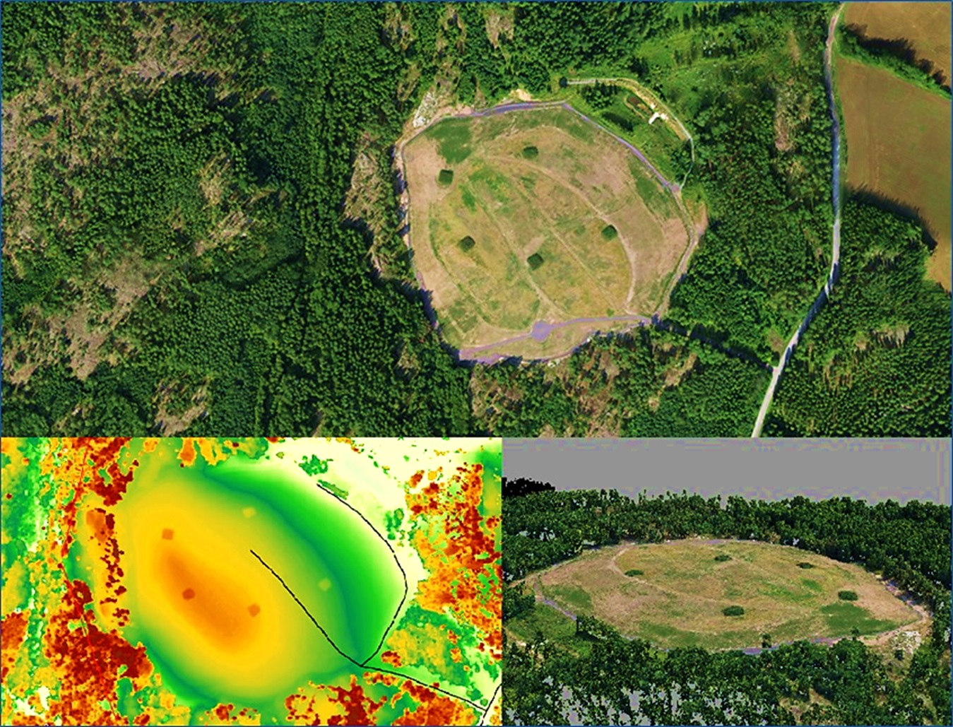
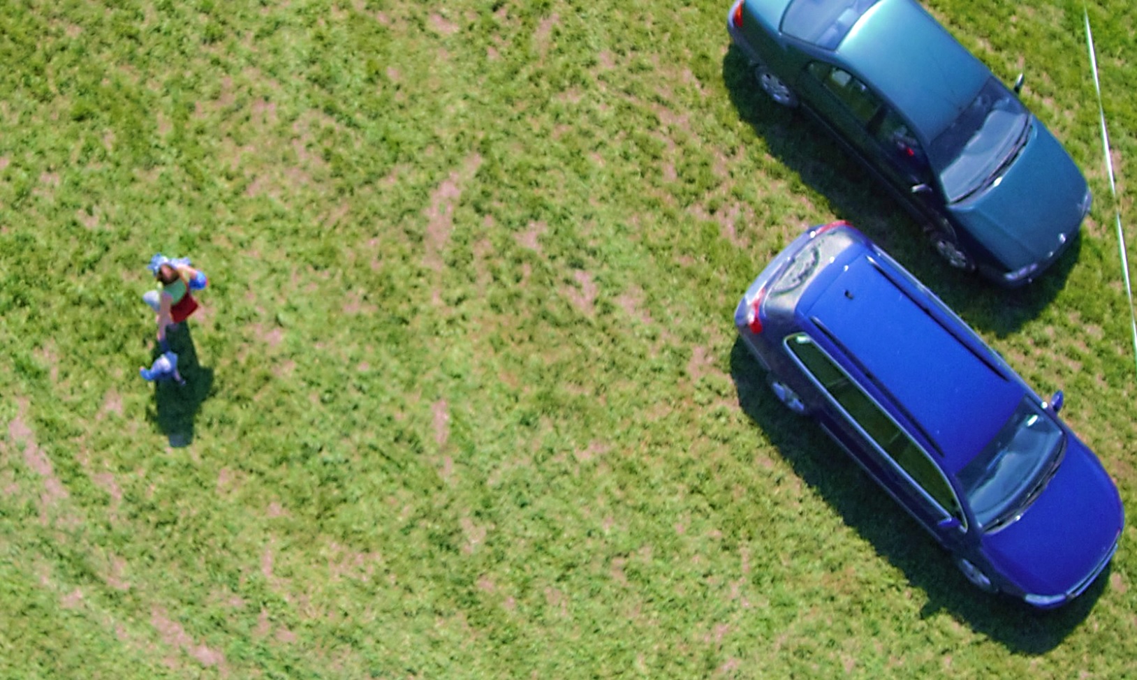
VHR means high resolution of 2-7 cm/px so it is possible to spot objects of just several centimeters on the ground.

We possess comprehensive proven track record and expertise of sUAV application in such environments as forested areas, coastal zone, agricultural sites, urban areas, settlements and mining sites for different tasks including but not limited to UAV flight operations, aerial imagery processing and further GIS analysis.

